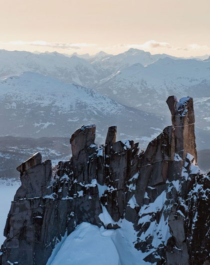
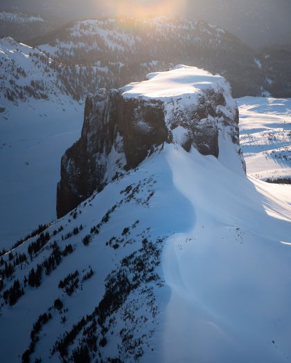
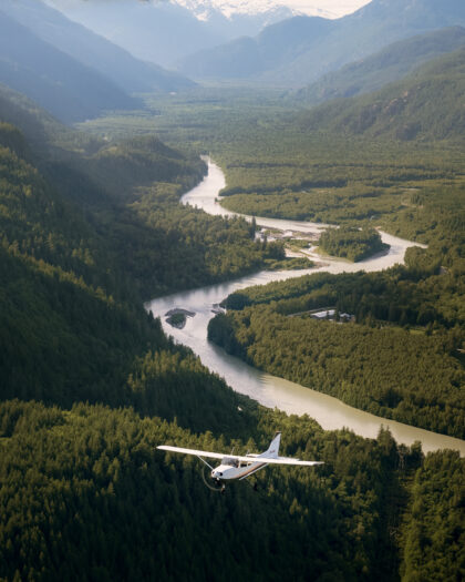
Seeing the Sea to Sky from above reveals just how much exists beyond the mountains surrounding Squamish. From town, the first ridgelines dominate the view. Behind them are extensive mountain ranges, glacial valleys, alpine lakes, icefields and waterways that continue deep into the Coast Mountains.
Squamish also sits in an interesting geographical position. Howe Sound reaches the community from the south. Meanwhile, the Squamish Valley provides a corridor into increasingly remote mountain terrain to the north and west. Several mountain systems meet around the region. Together, they create a much larger and more complex area than the view from Highway 99 might suggest.
Understanding what lies beyond the valley provides a different perspective on Squamish. It also helps explain the geological forces that have shaped this part of British Columbia.
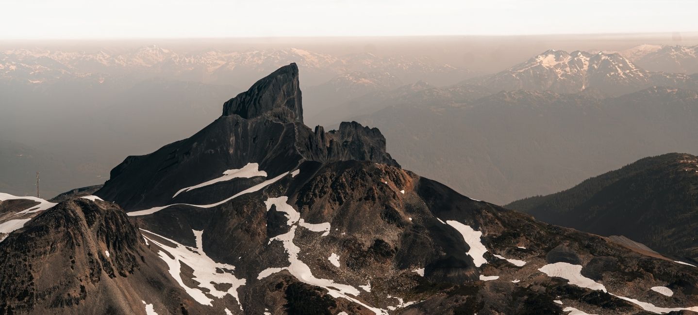
There is no single boundary where Squamish ends and the backcountry begins. The term generally describes the less developed mountain terrain surrounding the populated valley. Much of this area sits beyond the roads, neighbourhoods and infrastructure found closer to town.
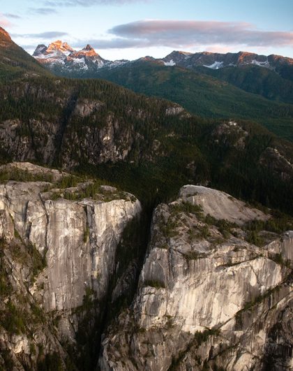
The terrain can change considerably over relatively short distances. Dense coastal forest gives way to steep valleys and exposed rock. At higher elevations, alpine environments, glaciers and mountain peaks take over.
Water also connects these environments. Rivers and creeks carry water from snowfields and glaciers toward the Squamish River and Howe Sound.
The scale can be difficult to appreciate from town. The first mountain ridges block much of what lies behind them. A peak visible from the valley may only be the beginning of a much larger mountain system.
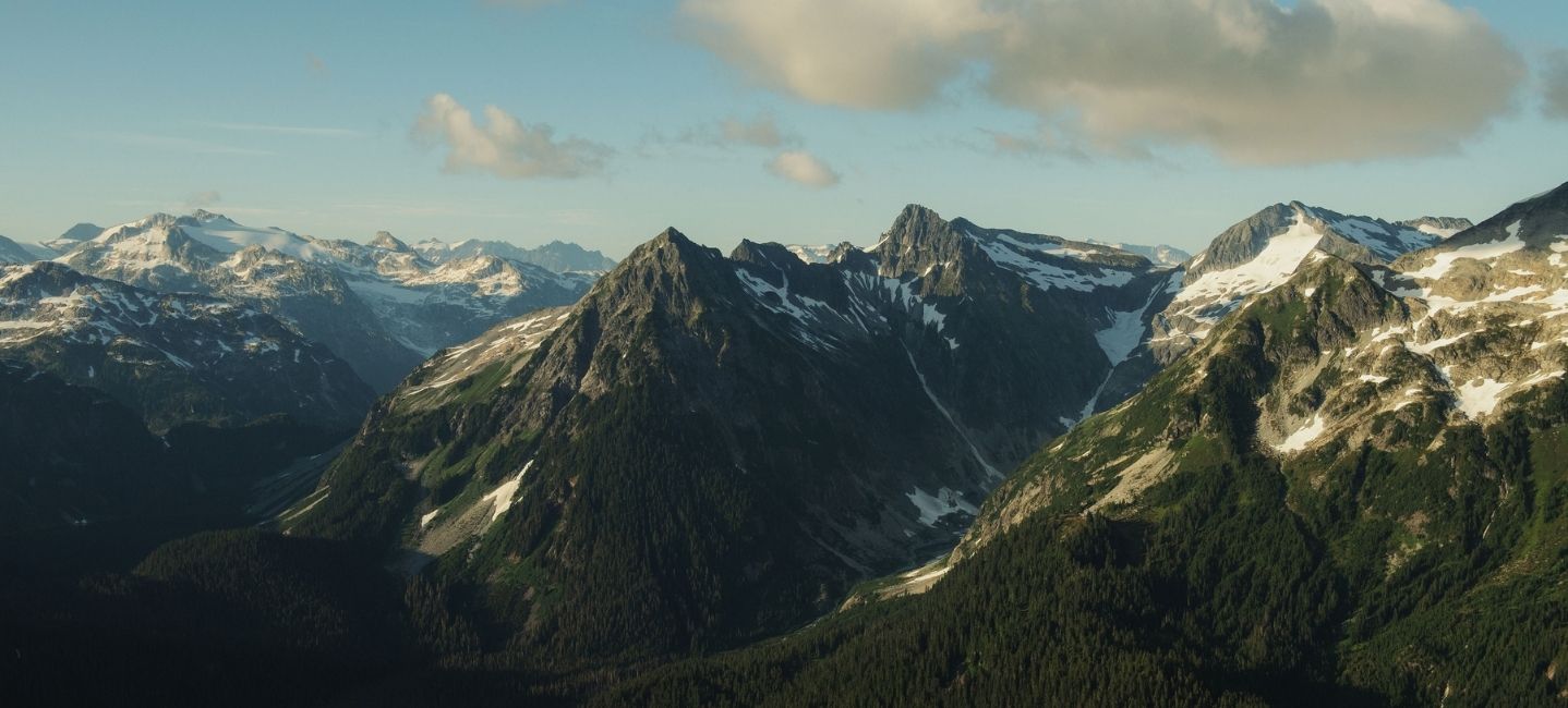
The mountains surrounding Squamish form part of the Coast Mountains. This vast mountain system extends through western British Columbia and into southeastern Alaska.
Locally, several distinctive areas help define the geography around Squamish. The Tantalus Range rises prominently west of the Squamish Valley. Extensive mountain terrain also continues north toward Whistler and deeper into the Coast Mountains.
These mountains are steep, rugged and heavily influenced by ice. Elevation can change quickly between the valley floor and the alpine. As a result, very different environments can exist relatively close together.
From Squamish, the mountains can sometimes appear to form a single wall around the valley. In reality, the first ridges give way to additional valleys, peaks, glaciers and waterways. The geography becomes increasingly complex farther from the developed corridor.

Much of the geography around Squamish has been influenced by glaciers. Over long periods, moving ice carved through the mountains. This process widened valleys, shaped cirques and transported enormous amounts of rock and sediment.
Evidence of that movement remains throughout the backcountry.
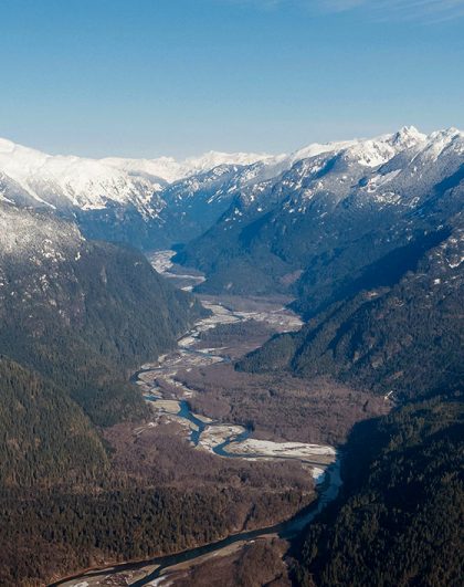
Broad U-shaped valleys are one of the clearest signs of past glacial activity. They differ from the narrower V-shaped valleys typically created by rivers. Large masses of moving ice formed these wider valleys by eroding the rock beneath and around them.
Cirques provide another clue. These bowl-shaped depressions form high in mountain terrain where glaciers develop and erode the surrounding rock. Moraines tell another part of the story. They are accumulations of rock and sediment that glaciers transport and deposit.
Active glaciers also remain throughout the Coast Mountains today. Together, these features provide a visible record of how the region has changed over thousands of years.
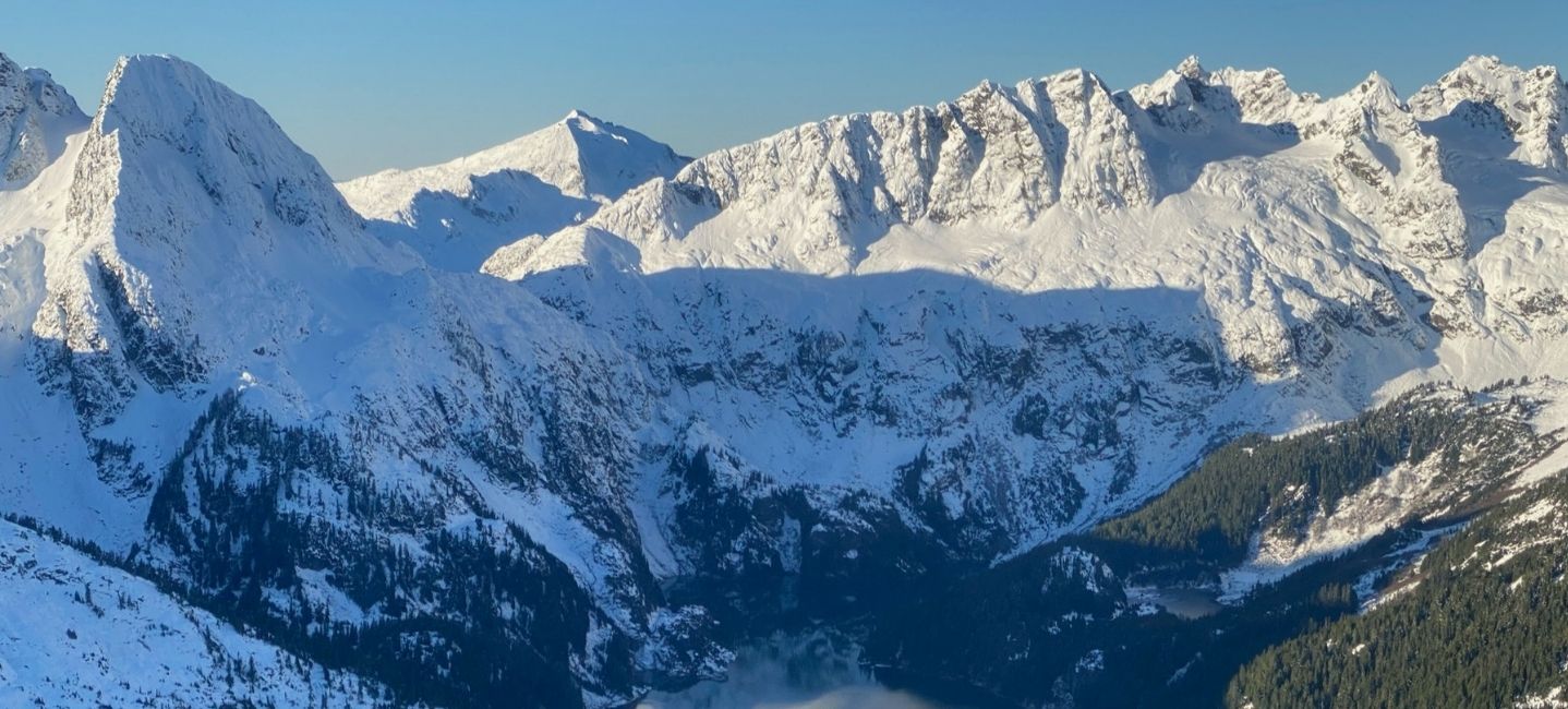
The Tantalus Range is one of the most recognizable mountain features around Squamish. Its rugged peaks and glaciers rise west of the Squamish Valley. They form a dramatic part of the view from several places around town.
However, the portion visible from the valley only provides part of the picture.
Behind the first ridgelines are additional peaks, glaciers, alpine basins and waterways. Lake Lovely Water is tucked within this mountain environment above the Squamish River. Steep terrain and surrounding peaks separate it from the developed valley below.
The range demonstrates why the Squamish backcountry can be difficult to understand from ground level. Mountains overlap one another and hide much of the terrain behind them. Seeing the Sea to Sky from above separates those layers and provides a clearer sense of the range’s scale.

The mountains around Squamish may dominate the view, but water is equally important to understanding the region.
Snow and ice stored at higher elevations feed streams and rivers throughout the mountains. These waterways travel downhill through valleys before connecting with larger river systems. Many eventually reach the Squamish River and Howe Sound.
The Squamish River watershed extends far beyond the town itself. Its tributaries reach into remote valleys and mountain terrain. In this way, they connect high-elevation environments with the lower valley and the coast.
A glacier high in the mountains can seem completely separate from the river flowing beside Squamish. In reality, they are parts of a much larger water system. Seasonal snowmelt, rainfall and glacial melt all influence how water moves through the region.
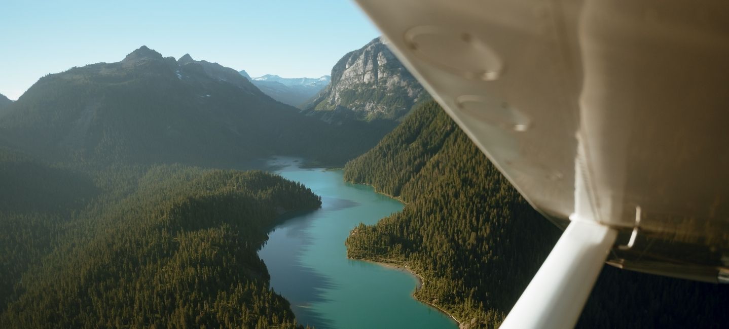
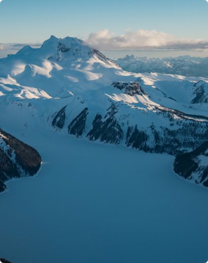
Alpine lakes are another distinctive feature of the Squamish backcountry. Some occupy basins shaped by past glacial activity. Others are influenced by present-day snow and ice.
Their colour can be particularly striking.
Moving ice grinds rock into extremely fine sediment known as glacial flour. Meltwater can then carry these tiny particles into nearby lakes. When sunlight interacts with the suspended sediment, the water can appear turquoise or blue-green.
The appearance is not identical every day. Light, sediment levels, weather and viewing conditions can all affect the colour.
Lake Lovely Water is one of the better-known alpine lakes near Squamish. However, the surrounding backcountry contains many other waterways and alpine basins hidden from the valley.
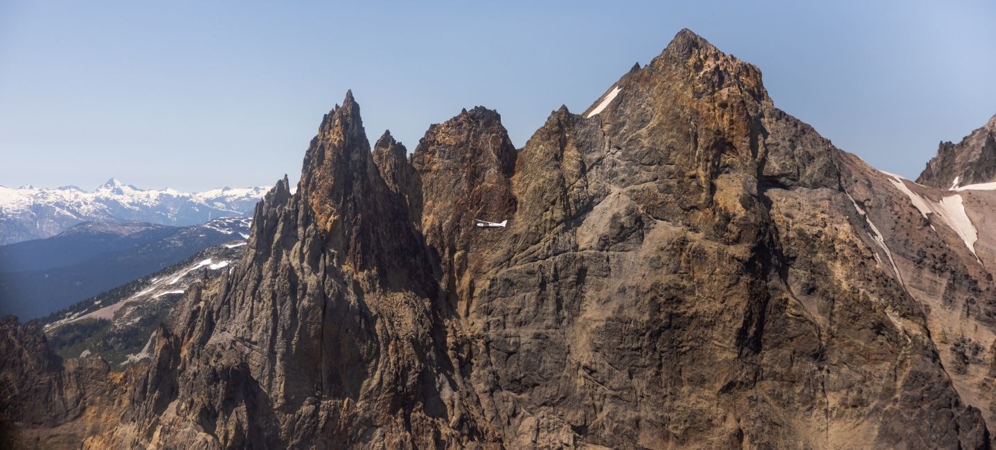
Ice is only one part of the geological story around Squamish. The wider region also contains evidence of volcanic activity.
Mount Cayley, northwest of Squamish, is part of the Garibaldi Volcanic Belt. This belt contains volcanic features associated with tectonic processes along the western edge of North America.
Several powerful forces have shaped the region over long periods of time. Tectonic activity helped build the mountains. Volcanic activity contributed additional formations. Glaciers later moved through the terrain and continued reshaping it.
These processes help explain why the backcountry contains such varied geography. Sharp peaks, broad valleys, volcanic formations and extensive glacial terrain can all exist within the same part of the Coast Mountains.
Seeing the Sea to Sky from above provides a wider perspective on these features. Instead of viewing each one separately, it becomes easier to understand how they fit within the surrounding mountain systems.
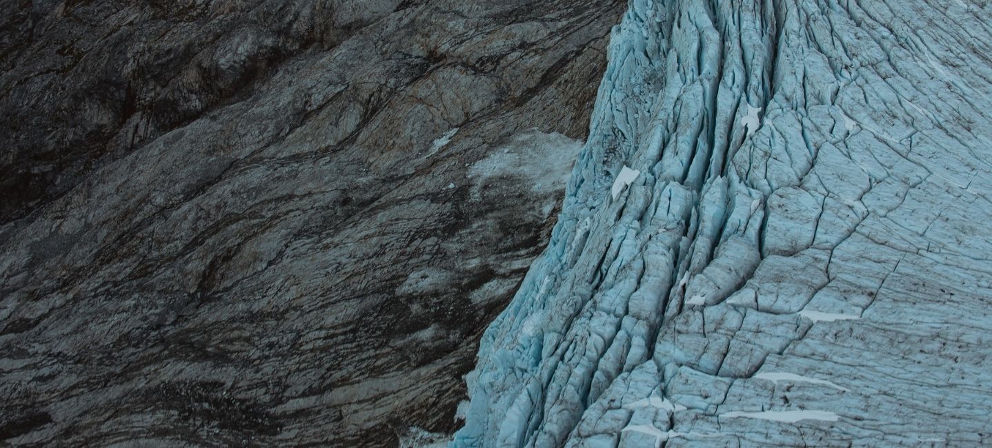
Much of this terrain is difficult to understand as a whole from the valley floor. Mountain ridges overlap, glaciers remain hidden behind peaks and remote valleys extend far beyond the road network.
Sea to Sky Air’s Prehistoric Glaciers & Peaks flight explores some of this deeper mountain terrain. The 50-minute route covers more than 530 square kilometres and can include areas around Mt Cayley, Hanging Glacier, the Ashlu Divide and the Pemberton Icefields.
The flight provides an opportunity to see several geological features within a broader geographical context. Glaciers can be followed through the mountains. Valleys become easier to trace. The relationship between individual peaks and larger mountain systems also becomes clearer.
Two-way headsets allow guests to communicate with the pilot during the flight. Guests can ask about the terrain below and learn more about specific features as they come into view.
Rather than treating the backcountry as a collection of individual landmarks, the experience shows how its different elements connect.
The Squamish backcountry is much larger than the mountains immediately visible from town. Behind those first ridgelines are glacial valleys, alpine lakes, waterways, volcanic features, glaciers and mountain systems extending deep into the Coast Mountains.
Learning more about this geography also changes the way familiar views can be understood. The Squamish River becomes part of a much larger watershed. The Tantalus Range becomes more than the peaks visible from the valley. Glaciers become part of an ongoing geological story rather than isolated areas of ice.
There is always more beyond the first ridge.
Explore Sea to Sky Air scenic flights to see more of the terrain, geology and glacial features that define the Squamish backcountry.
Head out on this mid-week special! Perfect for groups of up to three, this 30-minute private scenic flight showcases the spectacular landscapes of the Sea to Sky Corridor.
Available Monday to Friday.