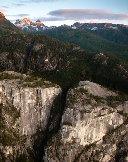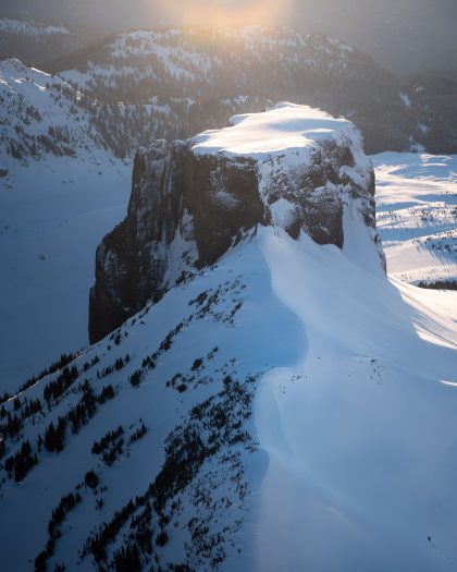
Welcome aboard Sea to Sky Air, where every flight is not just a journey but an opportunity to connect with the natural beauty of British Columbia’s stunning landscapes and skyscapes. Today, we invite you to turn your gaze upwards and join us in exploring the fascinating world of clouds that you might encounter while flying over the Sea to Sky Corridor.

Soaring above 16,000 feet, these wispy, ice-crystal clouds often foretell a change in weather. Cirrus clouds, with their delicate strands, can create a stunning backdrop against the blue sky. Cirrocumulus, appearing as small, rounded puffs, and cirrostratus, forming a thin, white veil, both offer clues about the atmosphere’s moisture and upcoming weather patterns.

Between 7,000 and 23,000 feet, you’ll find the middle clouds. Altocumulus clouds, resembling fluffy layers or patches, often signal a change in the weather. Altostratus, meanwhile, forms a grayish veil that can cover the sky, hinting at rain or snow in the near future.

Closer to Earth, these clouds lie below 7,000 feet. Stratus clouds create a gray, overcast sky, often associated with drizzly days. Stratocumulus, appearing as large, dark, rounded masses, may cover the sky in a patchy blanket. Nimbostratus clouds, the thick, dark clouds that bring continuous rain or snow, ensure a dramatic view from your window seat.

Cumulus clouds, the quintessential fluffy white clouds, can range from small cotton-like puffs to towering giants known as cumulonimbus. Cumulonimbus, the thunderstorm clouds, stretches from low to high altitudes, offering a spectacular, albeit sometimes intimidating, display of nature’s power.

Unique conditions over mountains can create lenticular clouds, which resemble flying saucers. Mammatus clouds, with their distinctive pouch-like formations, often accompany severe weather, adding a dramatic element to the skyscape.
Join us on a breathtaking scenic flight and indulge in the art of cloud-watching! Learn to identify the mesmerizing formations, from the wispy cirrus to the towering cumulonimbus, and discover the stories they tell about the weather and world above us. Ready to elevate your flight experience?