Glaciers in Squamish have been shaping the mountains, valleys and waterways around us for thousands of years. Look beyond the scale of the Coast Mountains and you’ll find signs of ice almost everywhere, from broad valleys and alpine basins to moraines, fjords and distinctive mountain formations.
Squamish sits between Howe Sound and the Coast Mountains, surrounded by steep peaks, rivers, glaciers and alpine lakes. While these features may seem separate, many share the same geological story. Once you know what to look for, the landscape starts to reveal just how much work ice has done here.
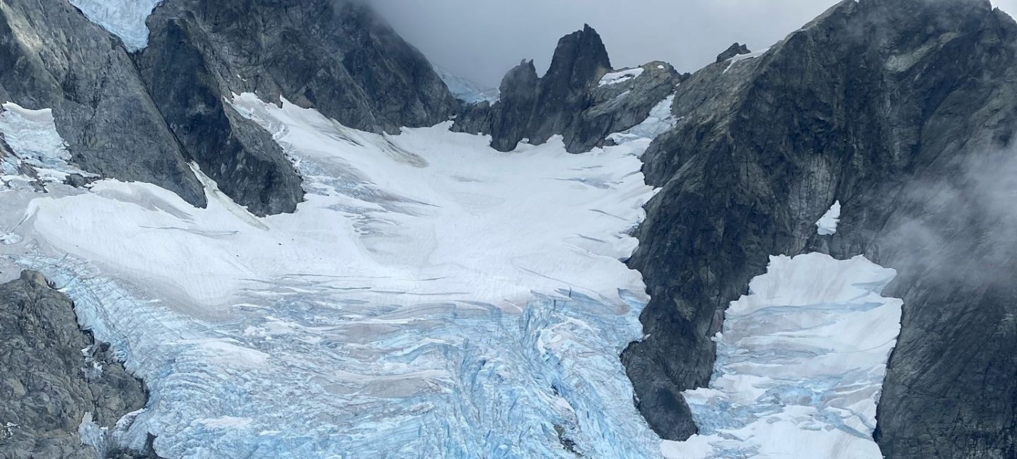
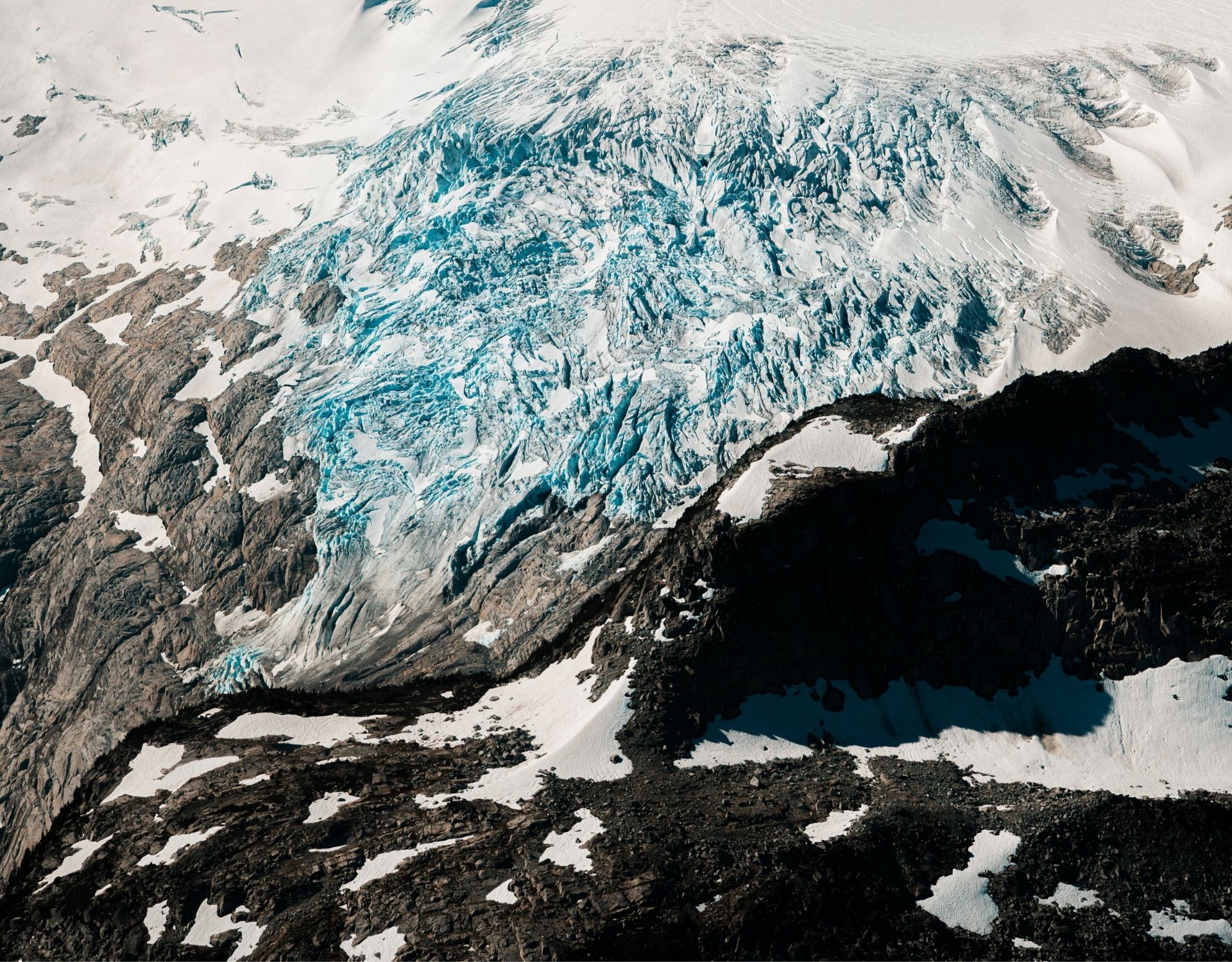
A glacier might look still from a distance, but glacial ice moves slowly under its own weight. As it travels downhill, it carries rock and sediment with it, grinding against the bedrock below and gradually changing the terrain.
During the last Ice Age, much of this region was covered by enormous amounts of ice. Over thousands of years, glaciers carved into mountainsides, widened valleys and transported rock across the landscape. The ice has since retreated considerably, but the evidence it left behind remains throughout the Sea-to-Sky.
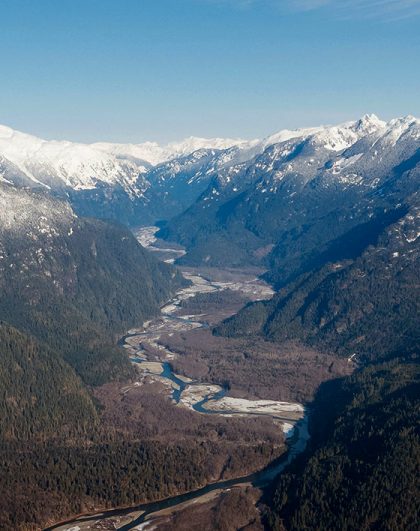
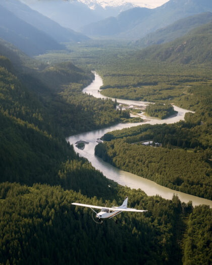
One of the easiest clues to recognize is the shape of a valley. Rivers tend to erode narrow, V-shaped valleys. Glaciers can carve much broader U-shaped valleys with steep sides and wide floors. From the air, these shapes are easier to recognize because you can see the terrain as a whole rather than from the valley floor.
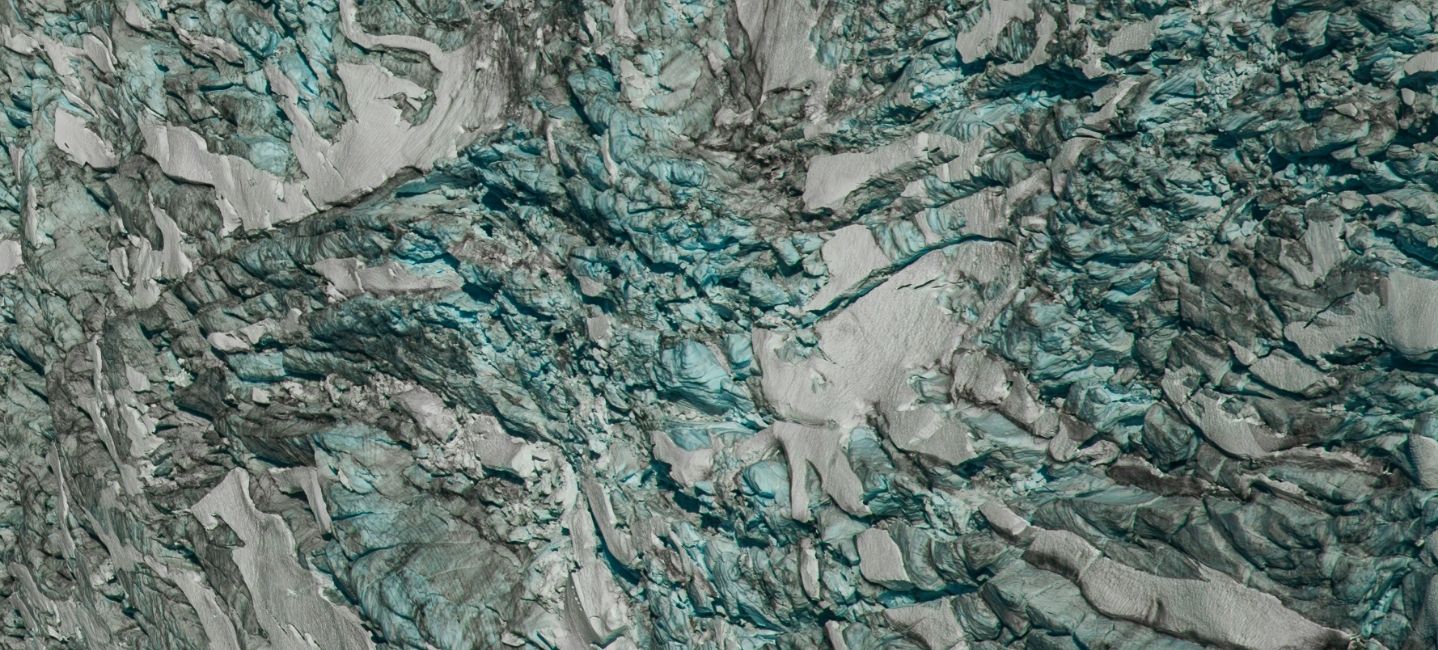
The shape of a valley is only one piece of the story. Glaciers leave smaller clues across the landscape as they advance and retreat.
A cirque is a bowl-shaped hollow carved into the side of a mountain by glacial erosion. They often form near the upper reaches of a glacier and can remain clearly visible long after the ice has disappeared.
From above, these natural amphitheatres can be easier to pick out among the surrounding peaks and ridges. Some now hold snow, ice or small alpine lakes.
Glaciers pick up rock, gravel and sediment as they move. When the ice melts or retreats, some of that material is left behind in ridges and deposits known as moraines.
Moraines can provide clues about where a glacier once travelled or how far it previously extended. Seen alongside the glacier and surrounding valley, they help piece together a much larger picture of how ice has moved through the mountains.
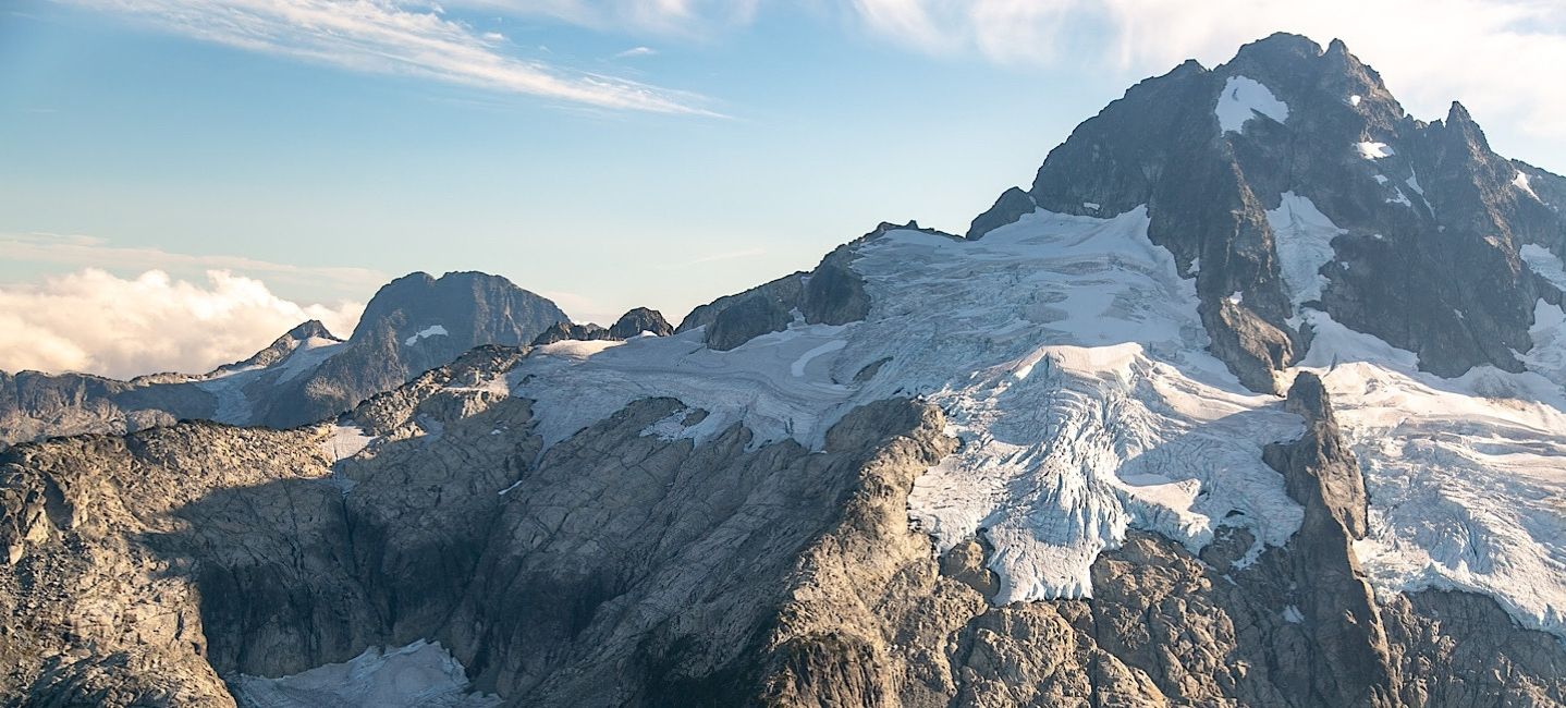
You don’t have to look high into the mountains to find evidence of glacial activity. One of Squamish’s most recognizable features was also shaped by ice.
Howe Sound is a fjord. Fjords are deep bodies of water formed when glaciers carve valleys that are later flooded by the sea. This helps explain the steep mountainsides that rise so dramatically from the water around Howe Sound.
Its shape is particularly interesting from above. You can follow the water through the surrounding mountains and see the connection between the Pacific coast and the glacial landscape farther inland.
This geography is part of what makes Squamish distinctive. Within a relatively short distance, the landscape transitions from ocean and temperate rainforest to rugged alpine terrain and glaciers.
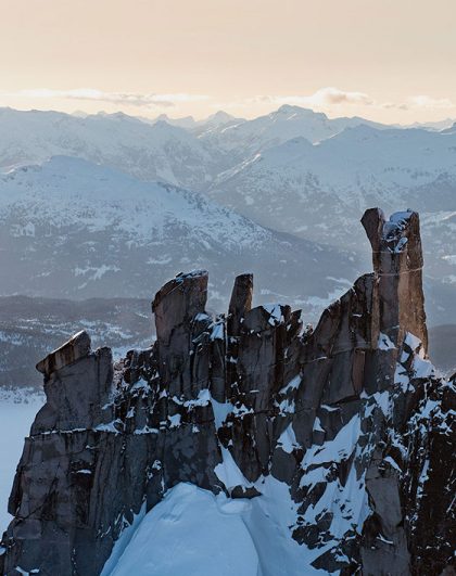
West of Squamish, the Tantalus Range rises sharply above the valley. Peaks including Alpha, Ossa and Omega are surrounded by glaciers, ridges and alpine basins.
The range is easy to spot from town, but much of its terrain remains hidden behind the mountains visible from the valley. From the air, those layers begin to open up.
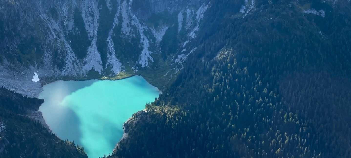
Flights into the Tantalus Range reveal glaciers winding between peaks and valleys extending farther into the backcountry. Glacier Express brings you closer to this glacial terrain, with views of Rumbling Glacier, the surrounding peaks and the turquoise waters of Lake Lovely Water.
Seeing the range from above also helps put its scale into context. Instead of viewing one mountain or glacier at a time, you begin to see how the individual features connect across a much larger mountain system.
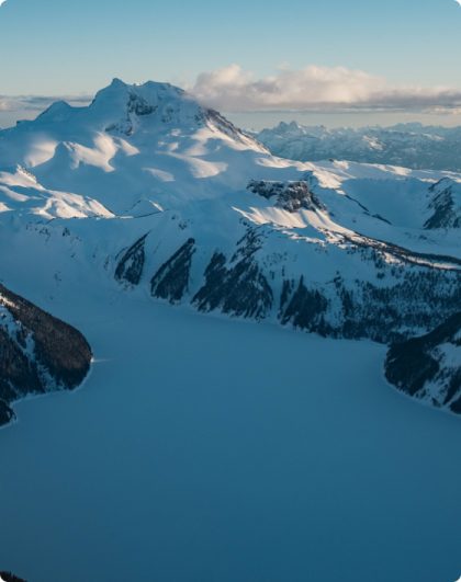
Another feature that stands out from above is the colour of alpine water. Glacier-fed lakes can appear turquoise, blue-green or even slightly milky.
One reason is something called glacial flour. Despite the name, it has nothing to do with baking. Glacial flour is extremely fine rock sediment created when moving ice grinds against the bedrock beneath it.
Meltwater carries these tiny particles into rivers and lakes. The suspended sediment affects how light interacts with the water, contributing to the distinctive colours associated with many glacial lakes.
The exact appearance depends on sediment levels, depth, light and other conditions. From the air, however, these bodies of water can create a striking contrast against the darker forests and exposed rock surrounding them.
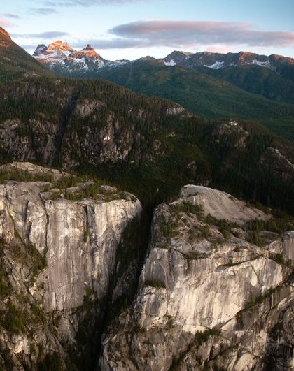
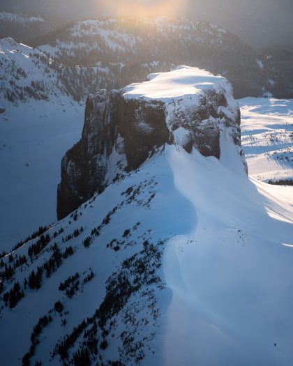
Skypilot Mountain and neighbouring Copilot are two distinctive formations southeast of Squamish. Their shapes also carry evidence of the region’s glacial past.
Tens of thousands of years ago, Stadium Glacier moved through this landscape, grinding against the rock as it travelled and helping shape the formations we recognize today.
On the Sea to Skypilot flight, these peaks can be seen in relation to Goat Ridge, Howe Sound and the surrounding Coast Mountains. That wider perspective helps connect the geological story of the mountains with the coastal landscape below.
Glaciers are not only part of Squamish’s geological past. Ice remains throughout the surrounding Coast Mountains today.
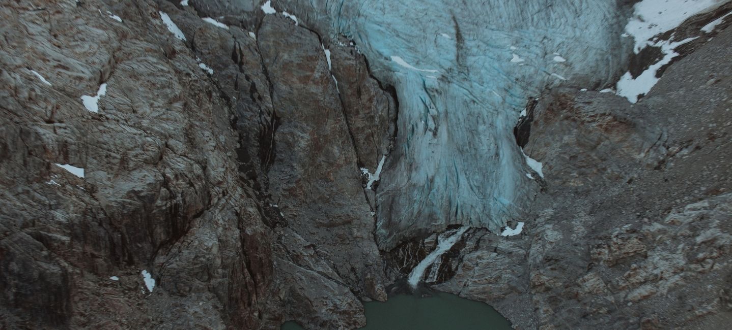
Travel deeper into the backcountry and the landscape includes Hanging Glacier, glaciers throughout the Tantalus Range and the expansive Pemberton Icefields.
Prehistoric Glaciers & Peaks explores this side of the region, travelling towards areas including Mt. Cayley, Hanging Glacier, the Ashlu Divide and Pemberton Icefields.
The glaciers themselves are only part of what you can observe. Look around the ice and you can begin to recognize valleys, cirques, moraines and other features created through thousands of years of glacial movement.
Seeing these features from the air can make them easier to understand because you’re able to view the landscape as a connected system rather than one feature at a time.
On Sea to Sky Air flights, every passenger has a two-way headset and microphone. Pilots can point out landmarks along the route and share their knowledge of the geology and history of the region. You can ask questions as you fly or simply listen while watching the landscape pass below.
A broad valley starts to tell you where ice once travelled. A ridge of sediment may mark a glacier’s former path. An alpine lake can be connected to the ice and mountains above it.
Once you know what to look for, the details begin to add up.
The mountains surrounding Squamish did not always look the way they do today. Ice moved through these valleys, wore away rock, transported sediment and left its mark from the highest alpine terrain all the way down to Howe Sound.
Learning about the glaciers in Squamish offers a different way to understand that landscape. Cirques, moraines, U-shaped valleys and alpine lakes become more than features of the scenery. They are clues to how the Coast Mountains have been shaped over thousands of years.
From the air, many of those clues come into view at once.
Head out on this mid-week special! Perfect for groups of up to three, this 30-minute private scenic flight showcases the spectacular landscapes of the Sea to Sky Corridor.
Available Monday to Friday.