fbpx
Volcano near Vancouver

Volcanoes

Is There A Volcano In Vancouver? The Answer Might Surprise You

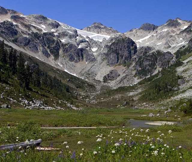
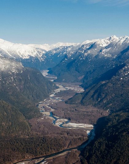
The terrain surrounding Vancouver draws millions of travellers each year who want to explore southwestern BC’s vast array of outdoor activities. But, few who visit know the explosive history of our region, and even fewer know that the valley they are walking through or the mountain they are hiking up was probably shaped by volcanic eruptions.

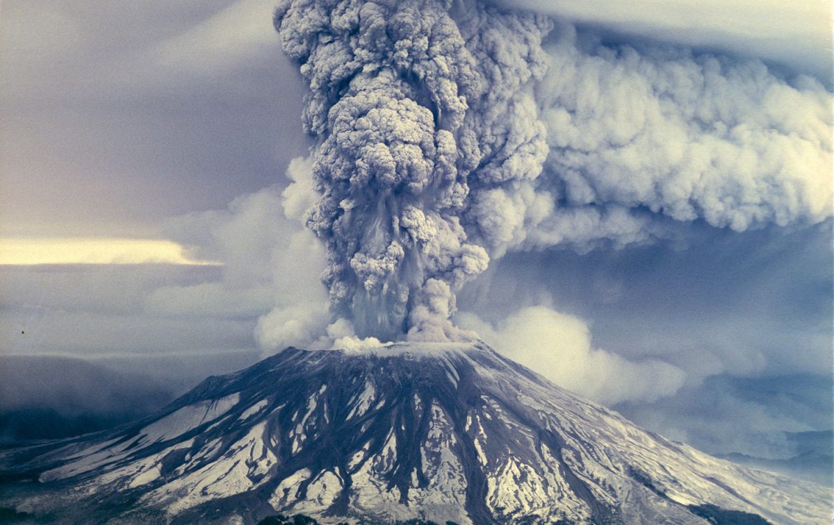
The last volcano to erupt in the Cascade Range was Mount Saint Helens in Washington, in the United States in 1980. While there hasn’t been an eruption in BC in recent history “Is there a volcano in Vancouver?” is still frequently Googled by residents and visitors to the Sea To Sky region. Here’s the answer, and it might not be exactly what you expected.

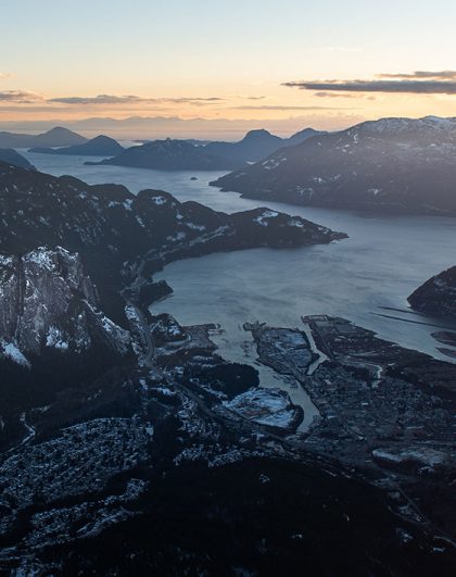
You may (or may not) be disappointed to hear that there are no volcanos in the City of Vancouver – phew, sort of.

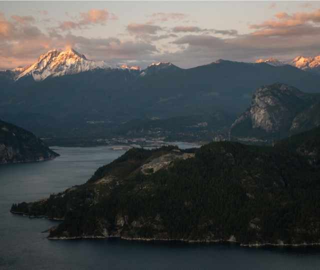
But Vancouver is in volcano-country. The Cascade Range (also known as the Cascade Mountains) which makes up part of the Pacific Ring of Fire, is a 1,300 km chain of volcanoes extending from California to southern British Columbia that has been erupting in intervals for around the last 29 millions years.

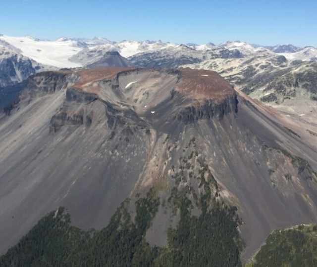
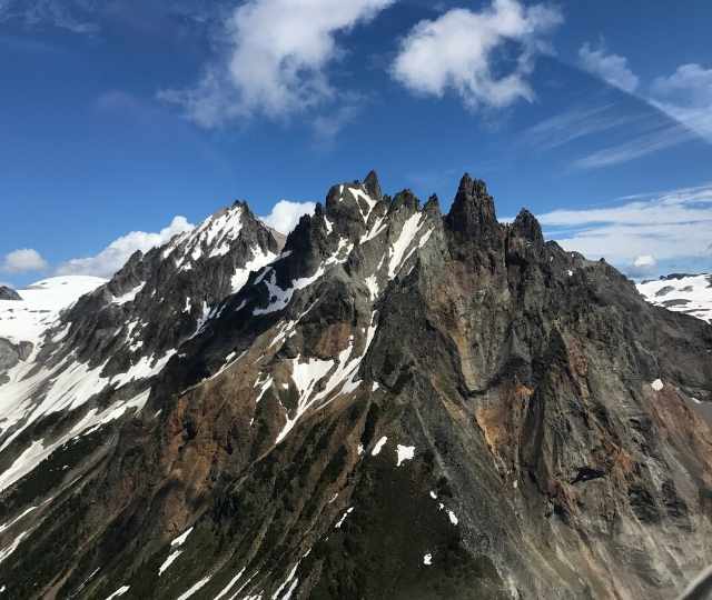
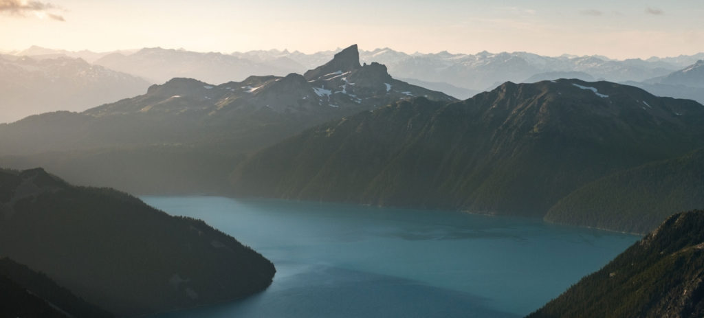
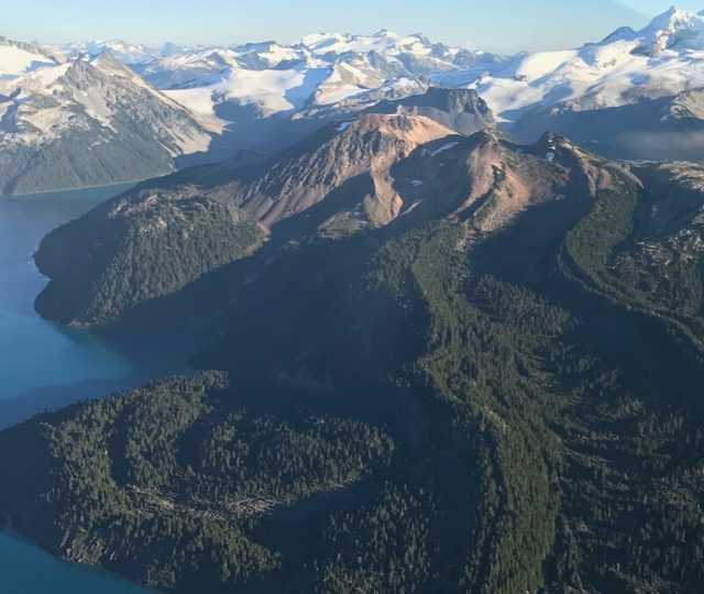
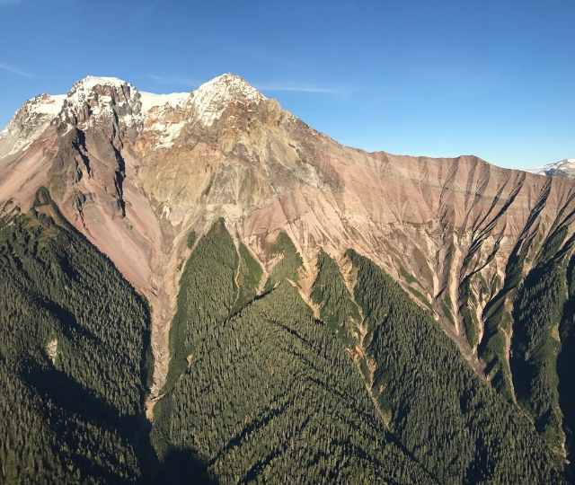
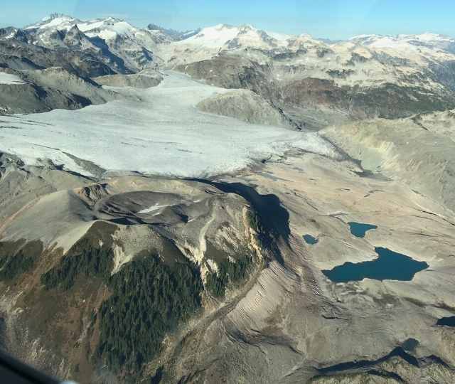
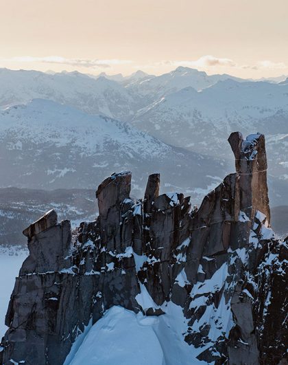
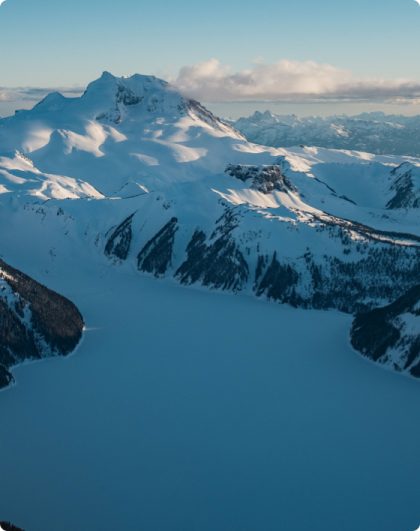
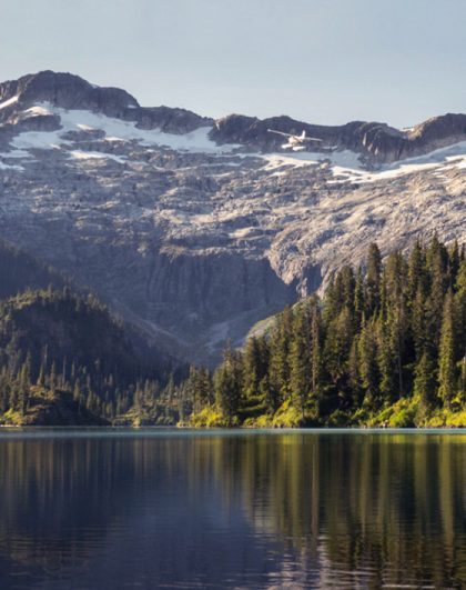
There are two dormant volcanoes within driving distance of Vancouver that have the potential for eruption, those are Mount Garibaldi in Squamish and Mount Baker in Washington, and there are 14 dormant and extinct volcanoes within 100km of downtown Vancouver. Here they are:

14 volcanoes within 100km from Vancouver


Ring Mountain in the Upper Squamish Valley

14. Ring Mountain (also known as Crucible Dome)
 

Type of volcano: Tuya. A flat-topped, steep-sided volcano formed when lava erupts through a thick glacier or ice sheet.

Location of volcano: The Mount Cayley Volcanic Field 104.64 km (65.02 mi) northwest of Vancouver. Just a dash further than 100km, but close enough. 58.51 km (36.36 mi) northwest of Squamish.

Can be seen on the Prehistoric Glaciers & Peaks

Mount Cayley

13. Mount Cayley

Type of volcano: (potentially active) stratovolcano. A conical volcano built up by many layers (strata) of hardened lava, tephra, pumice, and volcanic ash.

Location of volcano: 93.43 km (58.05 mi) northwest of Vancouver. 47.31 km (29.40 mi) northwest of Squamish.

Can be seen on the Prehistoric Glaciers & Peaks

Brandywine Mountain

12. Brandywine Mountain

Type of volcano: Volcanic Plug. A volcanic object created when magma hardens within a vent on an active volcano. Also know as a volcanic neck or lava neck.

Location of volcano: a summit in the Powder Mountain Icefield 92.39 km (57.41 mi) northwest of Vancouver. 45.90 km (28.52 mi) northwest of Squamish.

Can be seen on the Prehistoric Glaciers & Peaks

Mount Fee

11. Mount Fee

Type of volcano: Volcanic Plug. A volcanic object created when magma hardens within a vent on an active volcano. Also know as a volcanic neck or lava neck.

Location of volcano: 89.07 km (55.35 mi) northwest of Vancouver. 42.71 km (26.54 mi) northwest of Squamish.

Can be seen on the Prehistoric Glaciers & Peaks

10. Mount Brew

Type of volcano: Subglacial Volcano. A volcanic form produced by eruptions beneath the surface of a glacier or ice sheet which is then melted into a lake by the rising lava.

Location of volcano: 84.21 km (52.33 mi) northwest of Vancouver. 37.96 km (23.59 mi) northwest of Squamish.

Can be seen on the Whistler Backcountry Air Safari

Panoramic view of Garibaldi lake and Black Tusk

9. The Black Tusk

Type of volcano: Stratovolcano. A conical volcano built up by many layers (strata) of hardened lava, tephra, pumice, and volcanic ash.

Location of volcano: Garibaldi Provincial Park. 76.33 km (47.43 mi) north of Vancouver. 31.40 km (19.51 mi) northeast of Squamish.

Can be seen on the Whistler Backcountry Air Safari

Cinder Cone

8. Cinder Cone

Type of volcano: Cinder Cone. A steep conical hill of loose pyroclastic fragments, such as volcanic clinkers, cinders, volcanic ash, or scoria that has been built around a volcanic vent.

Location of volcano: Garibaldi Provincial Park. 76.56 km (47.57 mi) northeast of Vancouver. 31.96 km (19.86 mi) northeast of Squamish.

Can be seen on the the Whistler Backcountry Air Safari

7. Clinker Peak

Type of volcano: Stratovolcano. A conical volcano built up by many layers (strata) of hardened lava, tephra, pumice, and volcanic ash.

Location of volcano: Garibaldi Provincial Park. 70.07 km (43.54 mi) north of Vancouver. 24.90 km (15.47 mi) northeast of Squamish

Can be seen on the Whistler Backcountry Air Safari

Mount Price

6. Mount Price

Type of volcano: Stratovolcano. A conical volcano built up by many layers (strata) of hardened lava, tephra, pumice, and volcanic ash.

Location of volcano: Garibaldi Provincial Park. 70.28 km (43.67 mi) north of Vancouver. 25.46 km (15.82 mi) northeast of Squamish.

Can be seen on the Whistler Backcountry Air Safari

The Table

5. The Table

Type of volcano: Tuya. A flat-topped, steep-sided volcano formed when lava erupts through a thick glacier or ice sheet.

Location of volcano: Garibaldi Provincial Park. 68.21 km (42.39 mi) northeast of Vancouver. 23.83 km (14.80 mi) northeast of Squamish.

Can be seen on the Whistler Backcountry Air Safari

Mount Garibaldi

4. Mount Garibaldi

Type of volcano: Stratovolcano. A conical volcano built up by many layers (strata) of hardened lava, tephra, pumice, and volcanic ash.

Location of volcano: Garibaldi Provincial Park. 63.31 km (39.34 mi) northeast of Vancouver. 19.80 km (12.30 mi) northeast of Squamish.

Can be seen on the Whistler Backcountry Air Safari

Opal Cone

3. Opal Cone

Type of volcano: Cinder Cone. A steep conical hill of loose pyroclastic fragments, such as volcanic clinkers, cinders, volcanic ash, or scoria that has been built around a volcanic vent.

Location of volcano: Garibaldi Provincial Park. 61.02 km (37.92 mi) northeast of Vancouver. 19.30 km (11.99 mi) northeast of Vancouver.

Can be seen on the Whistler Backcountry Air Safari

2. The Castle

Type of volcano: Subglacial Volcano. A volcanic form produced by eruptions beneath the surface of a glacier or ice sheet which is then melted into a lake by the rising lava.

Location of volcano: 45.92 km (28.54 mi) northeast of Vancouver. 3.08 km (1.91 mi) west of Squamish.

Can be seen on the Squamish Explorer

Watts point

1. Watts Point

Type of volcano: Subglacial Volcano. A volcanic form produced by eruptions beneath the surface of a glacier or ice sheet which is then melted into a lake by the rising lava.

Location of volcano: 40.99 km (25.47 mi) northwest of Vancouver. 6.87 km (4.27 mi) southwest of Squamish.

Can be seen on the Sea To Skypilot


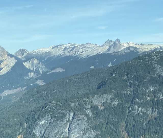
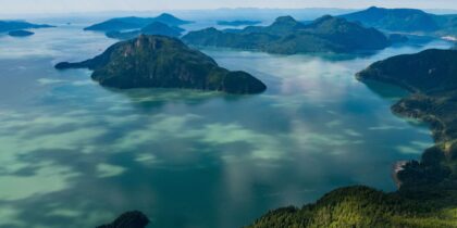
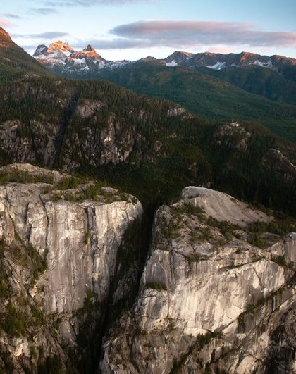
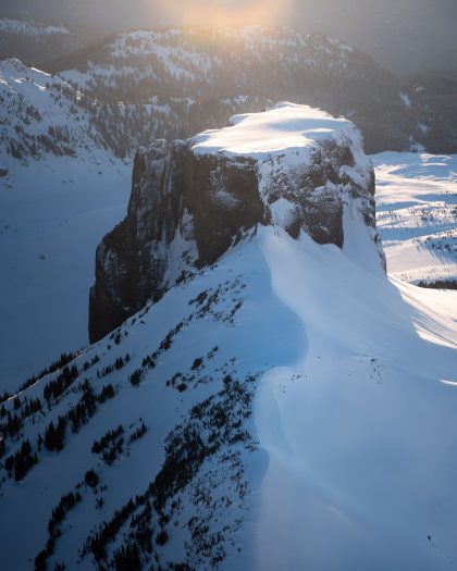
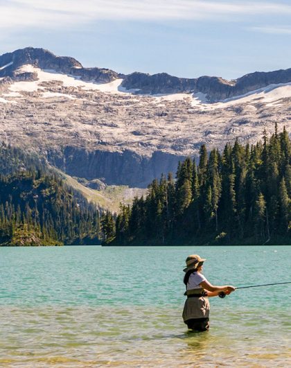
At first glance the Coast Mountains might seem like regular peaks, but now you know what’s really under the surface, and theres no better way to take it all in than on a flight.

Resources

Cannings, R & Cannings, S (2015) British Columbia: Natural History of Its Origins, Ecology, and Diversity With A New Look At Climate Change

National Geographic, Ring of Fire, http://nationalgeographic.org/encyclopedia/ring-fire/

Wikipeadia, List of The Cascade Volcanoes, https://en.wikipedia.org/wiki/List_of_Cascade_volcanoe

Photo credits

Ian Harland Photography 

Sea To Sky Air Crew

Explore More

Choose your Adventure

See all Tours