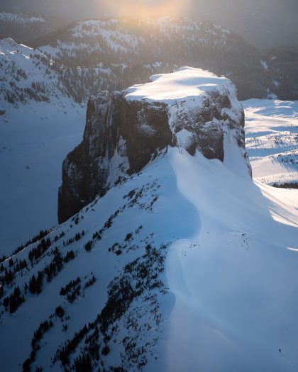
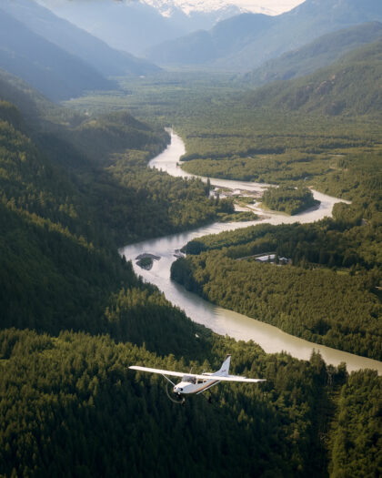
Flying in Howe Sound offers a perspective that is difficult to appreciate from the ground. While the Sea-to-Sky Highway follows the edge of the water and countless viewpoints showcase the surrounding scenery, the landscape takes on a completely different character when viewed from above. The winding fjord, steep coastal mountains, forested islands, and deep blue waters all become part of a much larger story.
For guests looking to experience this landscape firsthand, the Sea to Sky Pilot scenic flight provides some of the best views of Howe Sound and the surrounding Coast Mountains. The route follows one of the most recognizable sections of the Sea-to-Sky corridor, combining dramatic mountain scenery with the unique geography that has shaped the region for thousands of years.
Whether you’re visiting Squamish for the first time or have spent years exploring the region, Howe Sound has a way of revealing something new every time you see it.
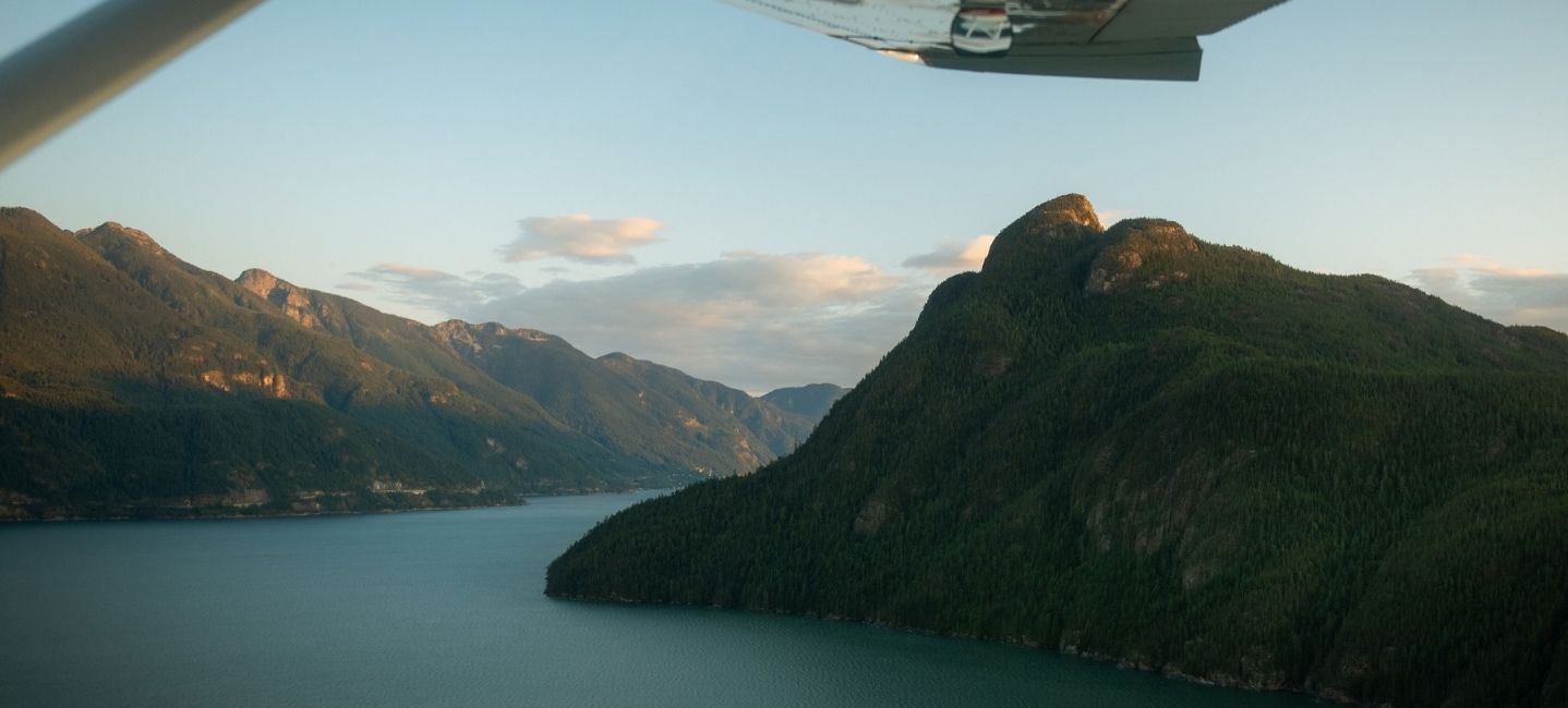
At first glance, Howe Sound appears to be a long stretch of ocean reaching inland toward Squamish. In reality, it is a fjord, a landscape carved and shaped by glaciers over thousands of years. Today, it stretches roughly 42 kilometres from the Strait of Georgia to the mouth of the Squamish River, creating one of the most distinctive natural features in British Columbia.
Howe Sound is often recognized as North America’s southernmost fjord. Its steep mountainsides rise directly from the water, creating dramatic contrasts between the coastline and the surrounding peaks. The result is a landscape that feels both rugged and accessible, particularly for anyone travelling between Vancouver, Squamish, and Whistler.
The fjord is also home to a collection of islands, inlets, cliffs, and waterways that are difficult to fully appreciate from the shoreline. While hikers, paddlers, and boaters experience portions of the sound, an aerial perspective reveals how all these elements connect together.
That broader perspective is one of the reasons flying in Howe Sound feels so different from other sightseeing experiences.
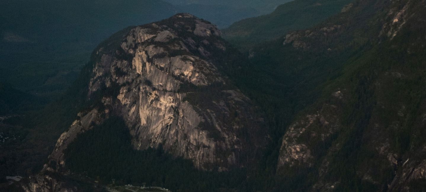
The moment an aircraft climbs above Squamish, the shape of Howe Sound begins to unfold below. What appears as a single body of water from the highway quickly reveals itself as a network of bays, islands, and channels stretching toward the Pacific Ocean.
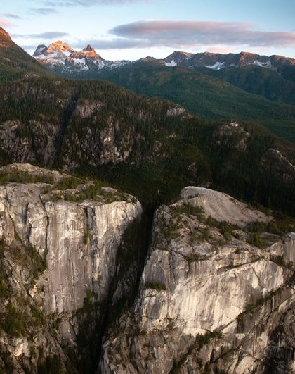
From above, the fjord’s scale becomes easier to understand. Forested shorelines wrap around the coastline while steep mountain walls rise dramatically from the water’s edge. Small islands dot the landscape, creating patterns that are often impossible to appreciate from the ground.
The Sea to Sky Pilot flight was designed to showcase many of these features. As the aircraft follows the coastline, guests gain an entirely different appreciation for the relationship between ocean and mountain. The transition from water to alpine terrain happens surprisingly quickly, creating a landscape that feels both diverse and interconnected.
This contrast is one of the defining characteristics of the Sea-to-Sky corridor. Within a relatively short distance, visitors can experience coastal waters, old-growth forests, rocky cliffs, and mountain peaks that rise thousands of feet above sea level.
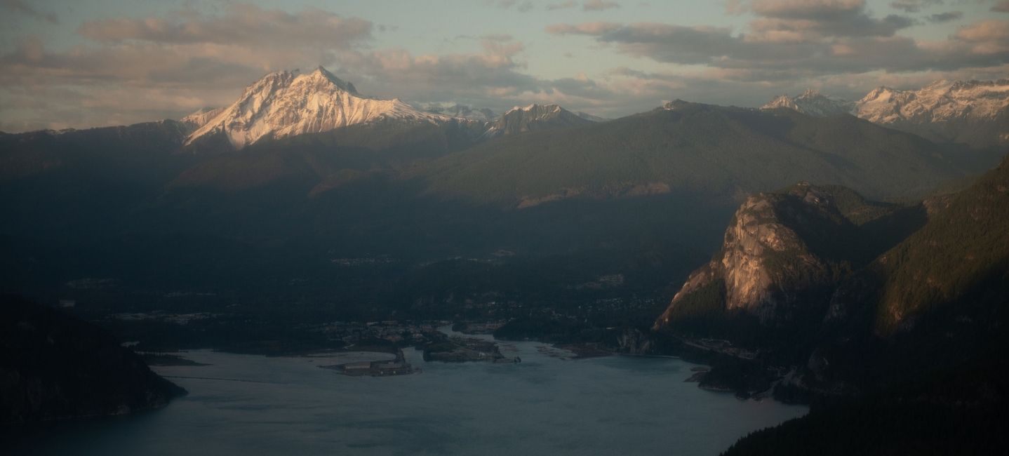
While Howe Sound often takes centre stage, the mountains surrounding it play an equally important role in shaping the scenery.
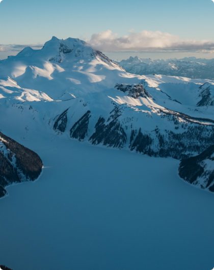
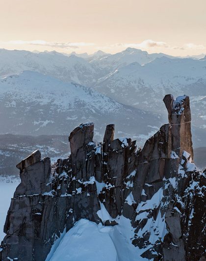
One of the most recognizable landmarks visible during the Sea to Sky Pilot flight is Sky Pilot Mountain itself. Rising above the fjord, its rugged profile has become an iconic feature of the Squamish skyline. Nearby ridges, valleys, and peaks create a dramatic backdrop that frames the water below.
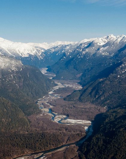
The connection between mountain and coastline becomes particularly apparent from the air. Rivers and waterfalls flow from the mountains toward the fjord, while glacially carved valleys funnel toward the shoreline. These features help explain why the landscape appears so dramatic today.
Flying above the region also highlights how tightly connected these environments really are. The mountains do not simply sit beside the water. Instead, they rise directly from it, creating the steep terrain that defines much of Howe Sound.
As the flight continues, new viewpoints emerge around every turn, offering fresh perspectives on familiar landmarks.

For many visitors, Howe Sound serves as the gateway to the Sea-to-Sky corridor. It links coastal communities with mountain landscapes and provides the backdrop for one of British Columbia’s most scenic drives.
Yet the fjord is much more than a route between destinations.
The waters of Howe Sound support a rich marine environment and help shape the character of the surrounding region. Forested islands sit within the fjord, while countless coves and bays create sheltered pockets along the shoreline. The combination of mountain and marine environments gives the area a unique identity that sets it apart from other destinations in British Columbia.
From above, these relationships become easier to understand. Guests can trace the path of the fjord toward the Pacific while observing how the mountains guide and shape the coastline. The aerial perspective creates a deeper appreciation for the geography that has influenced the region for generations.
This is another reason many guests choose the Sea to Sky Pilot flight. The route provides a comprehensive look at the landscapes that define the Sea-to-Sky corridor without requiring days of exploration on land.

If Howe Sound is the landscape you most want to see, the Sea to Sky Pilot is the flight to choose.
The experience combines views of Howe Sound, Sky Pilot Mountain, Goat Ridge, and the surrounding Coast Mountains into a single scenic journey. Designed specifically to showcase the region’s most recognizable landmarks, it offers a balanced introduction to both the coastal and alpine environments that make Squamish unique.
The flight also provides a level of perspective that is difficult to find elsewhere. From the aircraft, guests can appreciate the scale of the fjord, the height of the mountains, and the way these landscapes fit together as part of a larger ecosystem.
For first-time visitors, it offers an unforgettable introduction to the region. For locals, it often reveals details and viewpoints they have never noticed before.
Some landscapes stand out because of their size. Others leave an impression because of their beauty. Howe Sound manages to do both.
Flying in Howe Sound reveals a landscape shaped by water, mountains, glaciers, and time. The fjord winds inland beneath towering peaks, connecting coastal waters with the heart of the Sea-to-Sky corridor. While the views from the ground are impressive, the aerial perspective tells a much richer story.
For anyone hoping to experience Howe Sound from its most remarkable angle, the Sea to Sky Pilot offers Sea to Sky Air’s best views of the fjord and surrounding mountains. Book your scenic flight today and discover where the mountains truly meet the coast.
Head out on this mid-week special! Perfect for groups of up to three, this 30-minute private scenic flight showcases the spectacular landscapes of the Sea to Sky Corridor.
Available Monday to Friday.